
Frame a place
Choose a place or enter coordinates, then frame the area on the map.
NASA HLS · 30 m source pixels
Two dates, one shared view. Turn regional changes into a clear, labelled image for your next article or lesson.
01 — See how it works
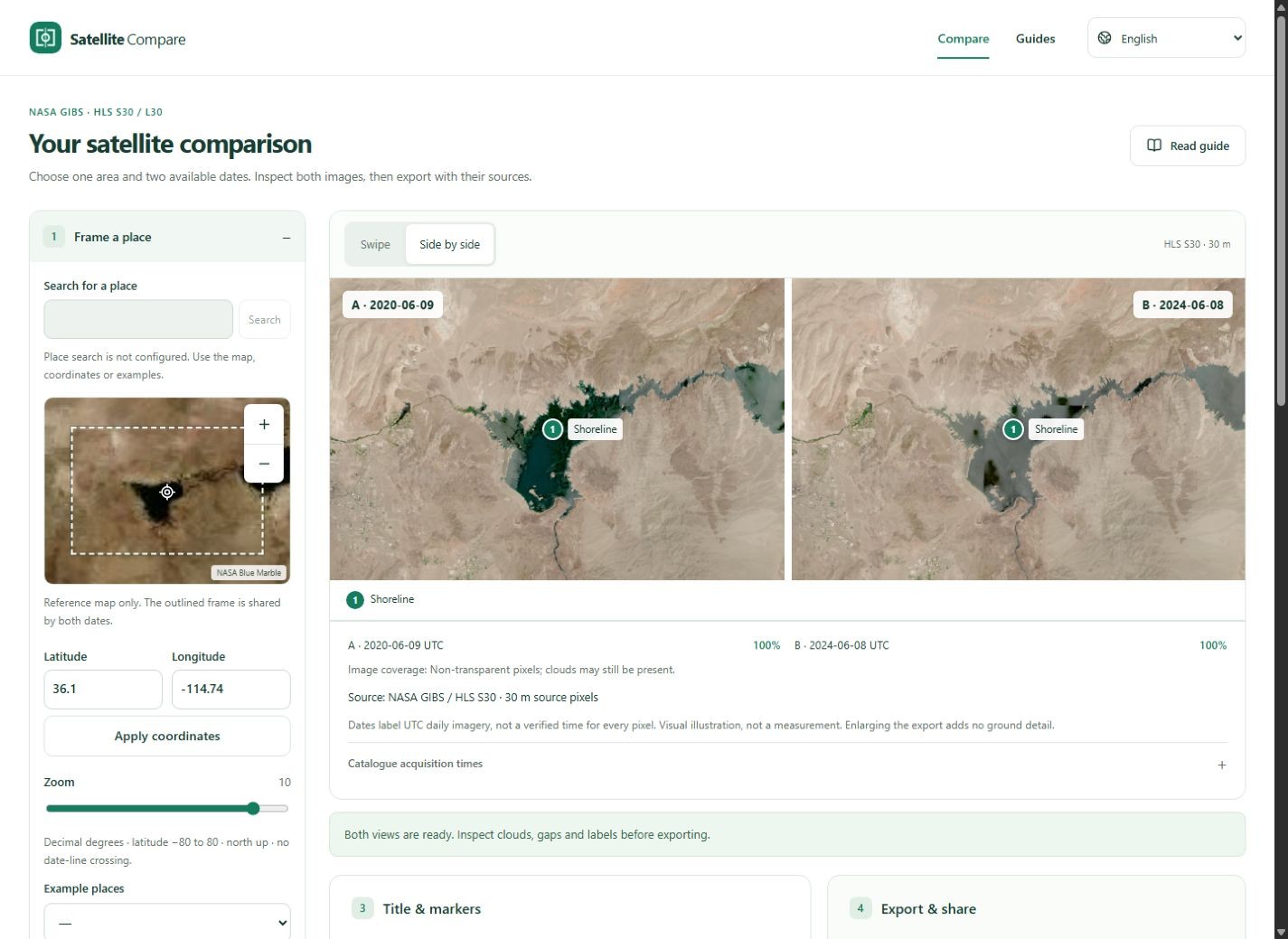
Satellite Compare helps you choose two NASA HLS satellite views of the same place and put them into one useful picture. Check available dates, inspect clouds and gaps, add a title or markers, then export with source information included. The 30 m imagery is suited to landscapes, reservoirs and large urban patterns.
Choose a place or enter coordinates, then frame the area on the map.
Find available images around two dates. Select the same product and inspect the actual data dates and coverage.
Compare, add a title or markers, and export a labelled PNG or JPG. Share the view with a link.
02 — Made for a story worth explaining
Satellite Compare helps you choose two NASA HLS satellite views of the same place and put them into one useful picture. Check available dates, inspect clouds and gaps, add a title or markers, then export with source information included. The 30 m imagery is suited to landscapes, reservoirs and large urban patterns.
03 — Guides
Frame a place, choose two verified dates and make a labelled comparison using the Lake Mead example.
Read guide 02Reduce seasonal and sensor differences when choosing satellite dates, and understand what a daily data date can prove.
Read guide 03Tell catalogue cloud estimates, missing pixels and service failures apart before using a satellite comparison.
Read guideYou can search around a date, but a usable observation is not guaranteed. Select a date listed in the NASA catalogue. We check the imagery service's date range and show gaps instead of silently changing dates.
No. The cloud percentage describes a whole catalogue granule, which can be larger than your view. Check both images for clouds, haze, shadows and missing areas before comparing them.
HLS source pixels cover about 30 m on the ground. Use this tool for regional patterns. Increasing the exported image size cannot reveal smaller objects.
A PNG or JPG containing both views, their UTC data dates, source information and your labels. It is a visual illustration, not the original georeferenced data or a scientific change measurement.
Map and imagery requests go to NASA services. When configured, place searches go to Geoapify. These providers receive request information such as the area or search text. Image composition happens in your browser.
It is the UTC date of the daily imagery product. Catalogue acquisition times provide additional context. Daily imagery can combine granules; this tool does not establish the exact acquisition time of every pixel.
Choose one area and two available dates. Inspect both images, then export with their sources.
Start a comparison